
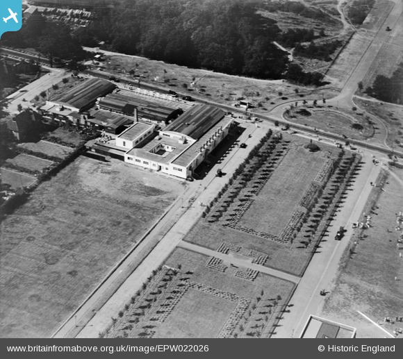
EPW022026 ENGLAND (1928). Parkway, Welwyn Garden City, 1928
© Copyright OpenStreetMap contributors and licensed by the OpenStreetMap Foundation. 2024. Cartography is licensed as CC BY-SA.
Nearby Images (33)
EPW022026

EPW025536

EPW022024

EPW062050

EPW062003

EPW062006

EPW062001

EPW025528

EPW022023

EPW062005

EPW047366

EAW013994

EPW062002

EPW047362

EPW054493

EPW047363

EPW047364

EPW047365

EPW022018

EPW047356

EPW054497

EPW047357

EPW022030

EPW054498

EPW054496

EPW054533

EPW047361

EPW022015

EPW047382

EPW062048

EPW047380

EPW047379

EPW054540

Details
| Title | [EPW022026] Parkway, Welwyn Garden City, 1928 |
| Reference | EPW022026 |
| Date | July-1928 |
| Link | |
| Place name | WELWYN GARDEN CITY |
| Parish | |
| District | |
| Country | ENGLAND |
| Easting / Northing | 523627, 213185 |
| Longitude / Latitude | -0.20679590710274, 51.803173496235 |
| National Grid Reference | TL236132 |
Pins
 Colin |
Tuesday 22nd of August 2017 07:28:22 AM | |
Chells809 |
Thursday 21st of February 2013 09:54:09 PM | |
Chells809 |
Thursday 21st of February 2013 09:52:34 PM |


