
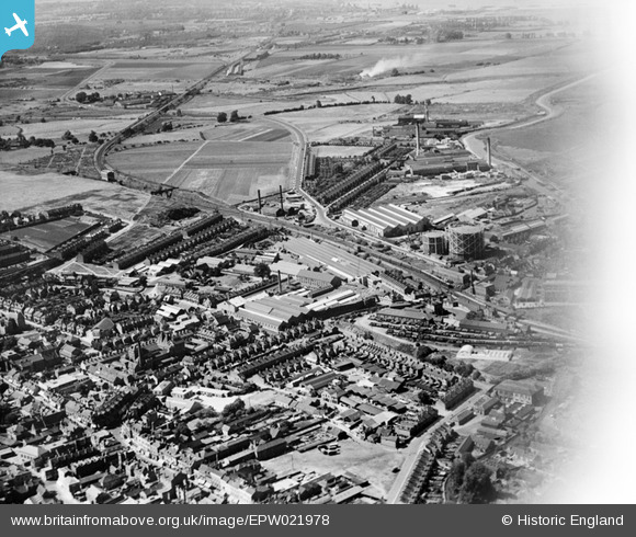
EPW021978 ENGLAND (1928). J & E Hall Engineering Works, Dartford, from the south-east, 1928
© Copyright OpenStreetMap contributors and licensed by the OpenStreetMap Foundation. 2024. Cartography is licensed as CC BY-SA.
Nearby Images (23)
EPW021978

EPW061008

EPW021976

EPW061007

EPW057058

EPW010895

EPW061014

EAW048627

EPW028231

EPW057057

EPW010899

EPW021979

EAW001394

EAW048625

EPW021977

EPW061012

EPW028229

EPW021980

EPW010897

EPW006256

EPW021982

EAW001403

EPW057059

Details
| Title | [EPW021978] J & E Hall Engineering Works, Dartford, from the south-east, 1928 |
| Reference | EPW021978 |
| Date | July-1928 |
| Link | |
| Place name | DARTFORD |
| Parish | |
| District | |
| Country | ENGLAND |
| Easting / Northing | 554189, 174267 |
| Longitude / Latitude | 0.21904533314594, 51.445882646575 |
| National Grid Reference | TQ542743 |
Pins
 John Wass |
Sunday 3rd of May 2020 02:55:17 PM |


