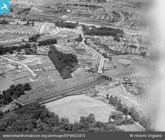
EPW021873 ENGLAND (1928). Oxhey Road and environs, Oxhey, 1928

© Copyright OpenStreetMap contributors and licensed by the OpenStreetMap Foundation. 2024. Cartography is licensed as CC BY-SA.

Nearby Images (3)

EPW021873
  0° 0m
EPW021872
  97° 88m
EPW021871
  258° 172m

Details

Title [EPW021873] Oxhey Road and environs, Oxhey, 1928
Reference EPW021873
Date July-1928
Link
Place name OXHEY
Parish
District
Country ENGLAND
Easting / Northing 511626, 194669
Longitude / Latitude -0.38672664309684, 51.639266035709
National Grid Reference TQ116947

Pins

This image is an oblique aerial photograph of part of Oxhey in the late 1920s, during a period of rapid change. In the foreground, the new road of Woodwaye (1925) has been laid out. In the middle distance, trees and large, well-spaced detached houses line both sides of Green Lane, which eventually leads to Oxhey Place, less than a mile to the south of the camera position. More continuous housing development is observed on Oxhey Road, from which Kingsfield Road and Cedar Road extend in a north-easterly direction towards the London, Midland & Scottish Railway (LMSR) line. Just visible on the extreme right-hand edge is one of the two reservoirs which served the railway troughs at Bushey until the mid-1960s. On the left of picture, woods occupy Deacon’s Hill and the western part of Oxhey Park, beyond which is the 1912 viaduct over the river Colne and the LMSR Bushey Curve. Almost obscured by trees in the middle of the photo is the distinctive spire of St. Matthew’s Parish Church (1880), on the western side of Bushey Station. Beyond the railway viaduct are the familiar gasholders on Watford’s Lower High Street. In the background, on the right-hand side, is the tall clock tower of the Royal Masonic School, by which umpires officiating at Bushey Cricket Club (Moat Field) used to call time for more than half a century from 1927. The writer played seven seasons for the Club between 1958 and 1965. References used:- Fieldpath Map of the Watford District 1938; Six Inch Ordnance Survey Map, Herts, Sheet XLIV NW, 1912-13 (1938 additions); Maps of Watford 1766-1938, Mary Forsyth; The Book of Watford, Bob Nunn, 1987 and 2003. Courtesy John Swain (19/07/2012)

ordinarybloke
Tuesday 14th of April 2020 12:05:20 AM
Postcard Watford Heath 1919 Peace Declaration Celebration19th July 1919

ordinarybloke
Tuesday 14th of April 2020 12:02:37 AM
Postcard Watford Heath

ordinarybloke
Sunday 19th of March 2017 06:25:03 AM
These reservoirs fed the Water Troughs to the track. Now the playing fields to a school

ordinarybloke
Saturday 11th of March 2017 08:54:43 AM
Bushey Troughs adjacent Watford Heath

ordinarybloke
Saturday 11th of March 2017 08:52:59 AM
Watford Heath Postcard (I'm not entirely convinced I have the location correct. Anyone?)

ordinarybloke
Monday 30th of June 2014 10:49:28 PM
Hampermill Lane [Postcard is undated and I'm not sure where it was taken on Hampermill Lane] but for your delectation. Incidentally there are many for Green Lane but this is the only one I've seen for HL.

ordinarybloke
Monday 6th of January 2014 04:03:01 PM

ordinarybloke
Saturday 6th of April 2013 06:13:15 PM

ordinarybloke
Saturday 6th of April 2013 06:12:13 PM