
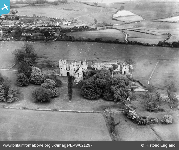
EPW021297 ENGLAND (1928). Castle Acre Priory, Castle Acre, 1928
© Copyright OpenStreetMap contributors and licensed by the OpenStreetMap Foundation. 2024. Cartography is licensed as CC BY-SA.
Nearby Images (11)
EPW021297

EPW021298

EAW014084

EAW014083

EPW021280

EAW014082

EPW021281

EAW014085

EAW014080

EAW014086

EAW014081

Details
| Title | [EPW021297] Castle Acre Priory, Castle Acre, 1928 |
| Reference | EPW021297 |
| Date | May-1928 |
| Link | |
| Place name | CASTLE ACRE |
| Parish | CASTLE ACRE |
| District | |
| Country | ENGLAND |
| Easting / Northing | 581384, 314786 |
| Longitude / Latitude | 0.6847202621761, 52.699972313567 |
| National Grid Reference | TF814148 |
Pins
Be the first to add a comment to this image!


