
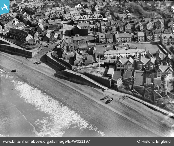
EPW021197 ENGLAND (1928). West Slipway and the seafront, Sheringham, 1928
© Copyright OpenStreetMap contributors and licensed by the OpenStreetMap Foundation. 2024. Cartography is licensed as CC BY-SA.
Nearby Images (12)
EPW021197

EPW021198

EAW051658

EPW001803

EPW001802

EPW021200

EAW051657

EPW001805

EPW016558

EAW051653

EAW038318

EAW038319

Details
| Title | [EPW021197] West Slipway and the seafront, Sheringham, 1928 |
| Reference | EPW021197 |
| Date | May-1928 |
| Link | |
| Place name | SHERINGHAM |
| Parish | SHERINGHAM |
| District | |
| Country | ENGLAND |
| Easting / Northing | 615756, 343494 |
| Longitude / Latitude | 1.211637844259, 52.945066348019 |
| National Grid Reference | TG158435 |
Pins
Be the first to add a comment to this image!


