
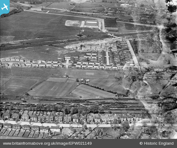
EPW021149 ENGLAND (1928). Acton Housing Estate, Acton, from the south-east, 1928
© Copyright OpenStreetMap contributors and licensed by the OpenStreetMap Foundation. 2024. Cartography is licensed as CC BY-SA.
Nearby Images (9)
EPW021149

EPW021154

EPW020881

EPW021152

EPW021151

EPW021148

EPW020880

EPW021153

EPW020878

Details
| Title | [EPW021149] Acton Housing Estate, Acton, from the south-east, 1928 |
| Reference | EPW021149 |
| Date | April-1928 |
| Link | |
| Place name | ACTON |
| Parish | |
| District | |
| Country | ENGLAND |
| Easting / Northing | 519884, 181193 |
| Longitude / Latitude | -0.27203550567864, 51.516440051643 |
| National Grid Reference | TQ199812 |
Pins
 Adrian Wadley |
Tuesday 26th of June 2012 04:52:45 AM |


