
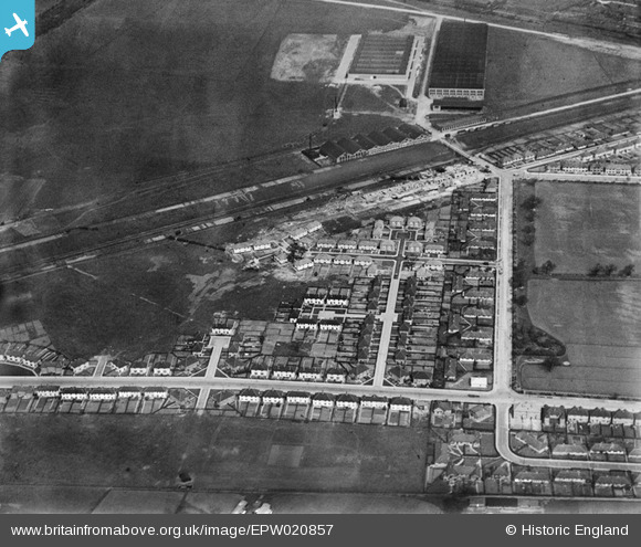
EPW020857 ENGLAND (1928). Norman Way and environs, Acton, 1928
© Copyright OpenStreetMap contributors and licensed by the OpenStreetMap Foundation. 2024. Cartography is licensed as CC BY-SA.
Nearby Images (18)
EPW020857

EPW020336

EPW020338

EPW020332

EPW020334

EPW020337

EPW020337
EPW020335

EPW020331

EPW020331
EPW020333

EPW020880

EPW021148

EPW021151

EPW020878

EPW020882

EPW020432

EPW047103

Details
| Title | [EPW020857] Norman Way and environs, Acton, 1928 |
| Reference | EPW020857 |
| Date | April-1928 |
| Link | |
| Place name | ACTON |
| Parish | |
| District | |
| Country | ENGLAND |
| Easting / Northing | 519772, 181554 |
| Longitude / Latitude | -0.27352633113955, 51.519708623725 |
| National Grid Reference | TQ198816 |
Pins
 The Laird |
Thursday 28th of July 2016 12:52:46 PM |


