
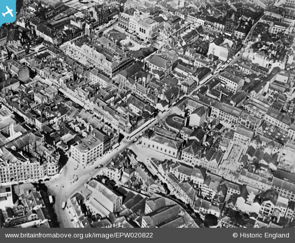
EPW020822 ENGLAND (1928). Belvoir Street and environs, Leicester, 1928. This image has been produced from a copy-negative.
© Copyright OpenStreetMap contributors and licensed by the OpenStreetMap Foundation. 2024. Cartography is licensed as CC BY-SA.
Nearby Images (25)
EPW020822

EPW020819

EAW024241

EPW020817

EPW020824

EPW020816

EPW020815

EPW018461

EPW018415

EPW020825

EPW020818

EPW020814

EAW051830

EPW020826

EAW051828

EPW047868

EPW055010

EPW018421

EPW020892

EPW018436

EPW061211

EPW018431

EAW024240

EPW055002

EPW047642

Details
| Title | [EPW020822] Belvoir Street and environs, Leicester, 1928. This image has been produced from a copy-negative. |
| Reference | EPW020822 |
| Date | April-1928 |
| Link | |
| Place name | LEICESTER |
| Parish | |
| District | |
| Country | ENGLAND |
| Easting / Northing | 458814, 304200 |
| Longitude / Latitude | -1.1309008603117, 52.632011210692 |
| National Grid Reference | SK588042 |
Pins
Be the first to add a comment to this image!


