
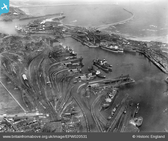
EPW020531 ENGLAND (1928). Hudson Docks, Sunderland, 1928
© Copyright OpenStreetMap contributors and licensed by the OpenStreetMap Foundation. 2024. Cartography is licensed as CC BY-SA.
Nearby Images (13)
EPW020531

EPW020537

EAW493267

EAW001015

EAW001017

EAW003173

EAW003174

EPW020533

EAW003179

EPW020539

EAW003175

EAW003178

EAW003181

Details
| Title | [EPW020531] Hudson Docks, Sunderland, 1928 |
| Reference | EPW020531 |
| Date | March-1928 |
| Link | |
| Place name | SUNDERLAND |
| Parish | |
| District | |
| Country | ENGLAND |
| Easting / Northing | 441035, 557209 |
| Longitude / Latitude | -1.3599127117326, 54.907824880758 |
| National Grid Reference | NZ410572 |
Pins
 kevin n |
Friday 3rd of January 2014 12:57:44 PM |


