
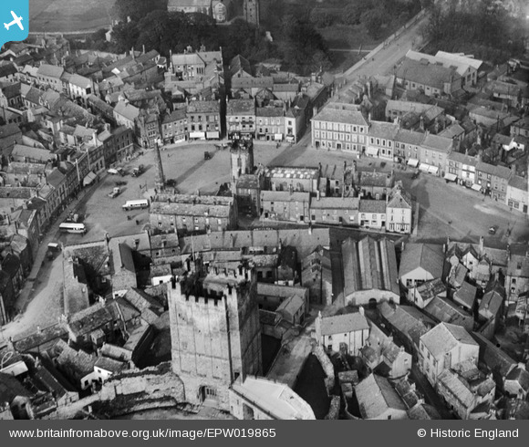
EPW019865 ENGLAND (1927). The Market Place and Castle Keep, Richmond, 1927
© Copyright OpenStreetMap contributors and licensed by the OpenStreetMap Foundation. 2024. Cartography is licensed as CC BY-SA.
Nearby Images (21)
EPW019865

EPW019868

EAW023519

EPW019862

EAW023522

EPW019866

EAW009258

EAW009262

EAW005573

EAW009259

EAW009260

EAW023521

EAW005578

EAW009261

EPW019863

EAW005572

EAW005575

EAW009263

EAW005577

EPW019864

EAW005576

Details
| Title | [EPW019865] The Market Place and Castle Keep, Richmond, 1927 |
| Reference | EPW019865 |
| Date | October-1927 |
| Link | |
| Place name | RICHMOND |
| Parish | RICHMOND |
| District | |
| Country | ENGLAND |
| Easting / Northing | 417134, 500873 |
| Longitude / Latitude | -1.7360289325369, 54.402889283118 |
| National Grid Reference | NZ171009 |
Pins
 Chells809 |
Tuesday 29th of January 2013 09:40:28 PM | |
Chells809 |
Friday 21st of December 2012 09:37:51 PM | |
 Class31 |
Wednesday 4th of July 2012 09:38:29 PM | |
Class31 |
Wednesday 4th of July 2012 09:38:05 PM | |
Class31 |
Wednesday 4th of July 2012 09:34:14 PM | |
Class31 |
Wednesday 4th of July 2012 09:33:54 PM | |
Class31 |
Wednesday 4th of July 2012 09:33:32 PM | |
Class31 |
Wednesday 4th of July 2012 09:33:11 PM |
User Comment Contributions
 Richmond Castle |
Robert - Cumbria |
Wednesday 27th of June 2012 06:15:05 PM |


