
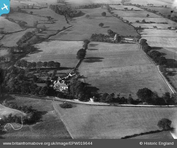
EPW019644 ENGLAND (1927). Deanwater House, Woodford, 1927
© Copyright OpenStreetMap contributors and licensed by the OpenStreetMap Foundation. 2024. Cartography is licensed as CC BY-SA.
Nearby Images (5)
EPW019644

EPW019645

EPW019395

EPW038617

EPW019643

Details
| Title | [EPW019644] Deanwater House, Woodford, 1927 |
| Reference | EPW019644 |
| Date | October-1927 |
| Link | |
| Place name | WOODFORD |
| Parish | |
| District | |
| Country | ENGLAND |
| Easting / Northing | 387737, 382031 |
| Longitude / Latitude | -2.1841742848284, 53.334775927545 |
| National Grid Reference | SJ877820 |
Pins
 John Ellis |
Thursday 18th of August 2016 10:07:08 PM | |
John Ellis |
Thursday 18th of August 2016 10:06:06 PM | |
John Ellis |
Thursday 18th of August 2016 10:04:36 PM | |
John Ellis |
Thursday 18th of August 2016 10:03:15 PM | |
John Ellis |
Thursday 18th of August 2016 10:02:38 PM | |
John Ellis |
Thursday 18th of August 2016 10:02:00 PM | |
John Ellis |
Thursday 18th of August 2016 10:01:01 PM |


