
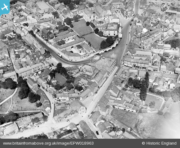
EPW018963 ENGLAND (1927). The town centre, Bakewell, 1927
© Copyright OpenStreetMap contributors and licensed by the OpenStreetMap Foundation. 2024. Cartography is licensed as CC BY-SA.
Nearby Images (11)
EPW018963

EAW016079

EAW016081

EAW016082

EPW018962

EPW018967

EAW016083

EAW016084

EPW018965

EAW016080

EPW018966

Details
| Title | [EPW018963] The town centre, Bakewell, 1927 |
| Reference | EPW018963 |
| Date | July-1927 |
| Link | |
| Place name | BAKEWELL |
| Parish | BAKEWELL |
| District | |
| Country | ENGLAND |
| Easting / Northing | 421714, 368475 |
| Longitude / Latitude | -1.6748121115064, 53.212608638887 |
| National Grid Reference | SK217685 |
Pins
 pip |
Sunday 24th of March 2024 06:00:26 PM | |
 |
 melgibbs |
Tuesday 12th of August 2014 07:19:58 PM |
MB |
Wednesday 10th of October 2012 10:46:14 AM | |
MB |
Wednesday 10th of October 2012 10:44:37 AM | |
MB |
Wednesday 10th of October 2012 10:44:12 AM | |
MB |
Wednesday 10th of October 2012 10:42:53 AM | |
MB |
Wednesday 10th of October 2012 10:42:06 AM | |
MB |
Wednesday 10th of October 2012 10:41:39 AM | |
MB |
Wednesday 10th of October 2012 10:39:25 AM | |
MB |
Wednesday 10th of October 2012 10:39:04 AM | |
MB |
Wednesday 10th of October 2012 10:38:33 AM | |
MB |
Wednesday 10th of October 2012 10:37:56 AM | |
MB |
Wednesday 10th of October 2012 10:37:05 AM | |
MB |
Wednesday 10th of October 2012 10:36:21 AM |


