
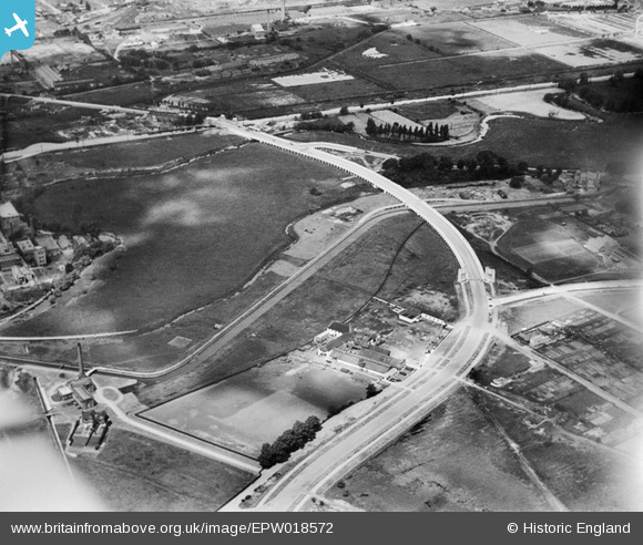
EPW018572 ENGLAND (1927). The Lea Valley Viaduct, Chingford, 1927
© Copyright OpenStreetMap contributors and licensed by the OpenStreetMap Foundation. 2024. Cartography is licensed as CC BY-SA.
Nearby Images (22)
EPW018572

EPW018562

EPW018561

EPW018568

EPW018563

EPW018569

EPW018564

EPW053837

EPW056818

EPW053853

EPW052272

EAW037678
 Rubber Works off the North Circular Road, Chingford, 1951. This image has been produced from a print marked by Aerofilms Ltd for photo editing.")
EPW018570

EAW037680
 Rubber Works off the North Circular Road, Chingford, 1951. This image has been produced from a print marked by Aerofilms Ltd for photo editing.")
EAW037683
 Rubber Works, Chingford, 1951. This image has been produced from a print marked by Aerofilms Ltd for photo editing.")
EAW037682
 Rubber Works, Chingford, 1951. This image has been produced from a print marked by Aerofilms Ltd for photo editing.")
EPW052282

EPW052284

EAW037677
 Rubber Works and Greaves Pumping Station, Chingford, 1951. This image has been produced from a print marked by Aerofilms Ltd for photo editing.")
EPW049529

EPW042085

EPW042086

Details
| Title | [EPW018572] The Lea Valley Viaduct, Chingford, 1927 |
| Reference | EPW018572 |
| Date | June-1927 |
| Link | |
| Place name | CHINGFORD |
| Parish | |
| District | |
| Country | ENGLAND |
| Easting / Northing | 536215, 192090 |
| Longitude / Latitude | -0.032562956507501, 51.610670442679 |
| National Grid Reference | TQ362921 |
Pins
Be the first to add a comment to this image!
User Comment Contributions
 Today looking north |
 SilentFart |
Tuesday 26th of June 2012 10:48:37 PM |


