
EPW018047 ENGLAND (1927). The infirmary and town centre, Shrewsbury, from the east, 1927

© Copyright OpenStreetMap contributors and licensed by the OpenStreetMap Foundation. 2024. Cartography is licensed as CC BY-SA.
Nearby Images (6)
EPW018047

EPW040079

EPW040078

EPW018053

EAW012518

EPW018043

Details
| Title | [EPW018047] The infirmary and town centre, Shrewsbury, from the east, 1927 |
| Reference | EPW018047 |
| Date | May-1927 |
| Link | |
| Place name | SHREWSBURY |
| Parish | SHREWSBURY |
| District | |
| Country | ENGLAND |
| Easting / Northing | 349469, 312525 |
| Longitude / Latitude | -2.7479898337289, 52.707687099437 |
| National Grid Reference | SJ495125 |
Pins
 andrewblockley |
Friday 11th of December 2020 10:45:20 AM | |
 Class31 |
Monday 1st of June 2015 12:31:48 PM | |
Class31 |
Monday 1st of June 2015 12:30:30 PM | |
Class31 |
Monday 1st of June 2015 12:29:44 PM |


User Comment Contributions
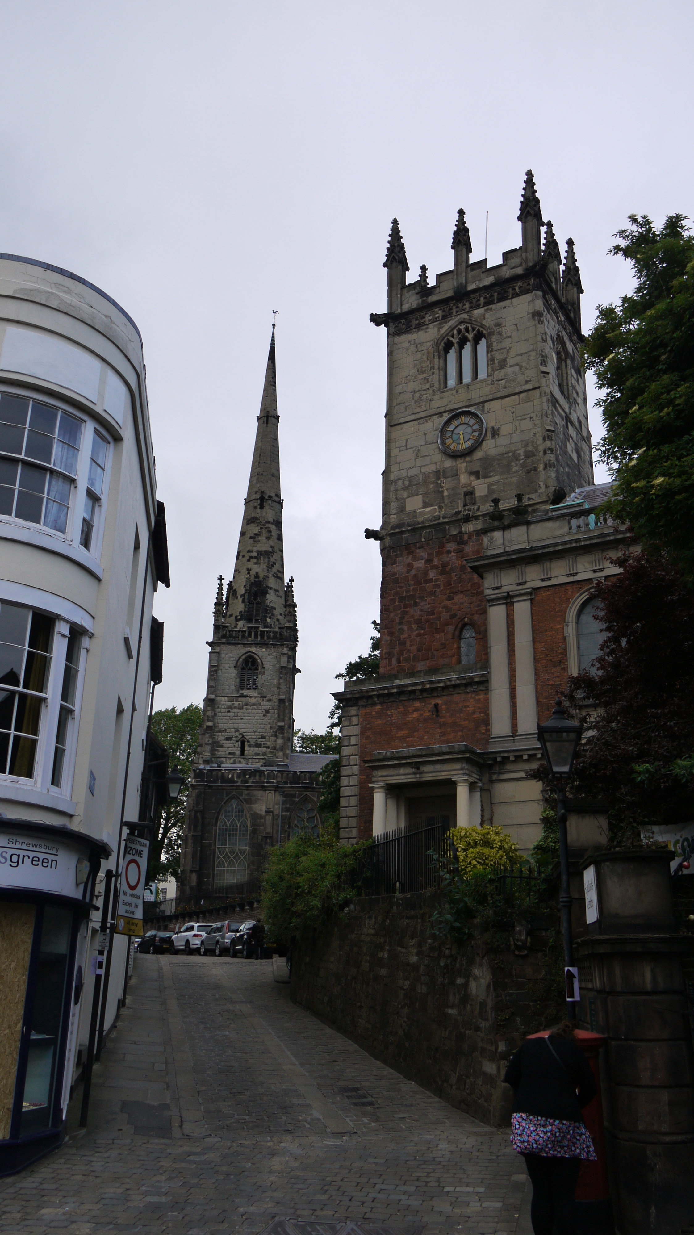 St. Julian's Church and St. Alkmund's Church, Shrewsbury, 27/05/2015 |
Class31 |
Monday 1st of June 2015 12:32:30 PM |


