
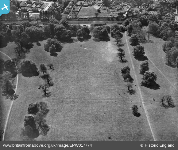
EPW017774 ENGLAND (1927). Rickmansworth Park, Rickmansworth, 1927
© Copyright OpenStreetMap contributors and licensed by the OpenStreetMap Foundation. 2024. Cartography is licensed as CC BY-SA.
Nearby Images (5)
EPW017774

EAW022718

EPW017766

EPW017767

EPW017770

Details
| Title | [EPW017774] Rickmansworth Park, Rickmansworth, 1927 |
| Reference | EPW017774 |
| Date | April-1927 |
| Link | |
| Place name | RICKMANSWORTH |
| Parish | |
| District | |
| Country | ENGLAND |
| Easting / Northing | 505959, 194866 |
| Longitude / Latitude | -0.46853686711551, 51.642133306149 |
| National Grid Reference | TQ060949 |
Pins
Be the first to add a comment to this image!


