
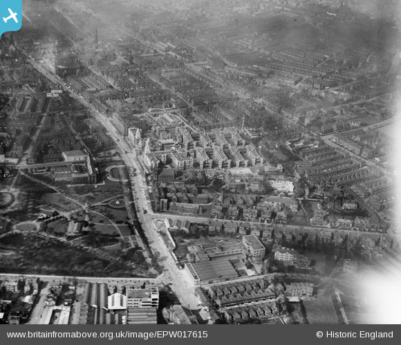
EPW017615 ENGLAND (1927). The Royal Infirmary, Manchester, 1927
© Copyright OpenStreetMap contributors and licensed by the OpenStreetMap Foundation. 2024. Cartography is licensed as CC BY-SA.
Nearby Images (17)
EPW017615

EPW016726

EPW019134

EPW060430

EPW060424

EPW060431

EPW060432

EPW016725

EPW060426

EPW060433

EPW060423

EPW060429

EPW060427

EPW060425

EPW060428

EPW055072

EPW017522

Details
| Title | [EPW017615] The Royal Infirmary, Manchester, 1927 |
| Reference | EPW017615 |
| Date | April-1927 |
| Link | |
| Place name | MANCHESTER |
| Parish | |
| District | |
| Country | ENGLAND |
| Easting / Northing | 385054, 396018 |
| Longitude / Latitude | -2.2251317725509, 53.460443726877 |
| National Grid Reference | SJ851960 |
Pins
 Bottom Yard |
Sunday 3rd of March 2019 07:21:21 PM | |
Bottom Yard |
Thursday 21st of February 2019 07:10:37 PM | |
Bottom Yard |
Thursday 21st of February 2019 07:09:25 PM | |
Bottom Yard |
Thursday 21st of February 2019 07:08:02 PM | |
JJH |
Thursday 25th of August 2016 10:57:42 PM | |
JJH |
Thursday 25th of August 2016 10:56:43 PM | |
JJH |
Thursday 25th of August 2016 10:56:04 PM | |
JJH |
Thursday 25th of August 2016 10:55:32 PM | |
Stevieblue52 |
Friday 21st of August 2015 01:33:55 AM | |
Stevieblue52 |
Wednesday 19th of August 2015 01:02:21 PM |


