
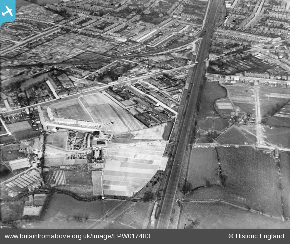
EPW017483 ENGLAND (1927). Springfield Mental Hospital Annexe and environs, New Malden, 1927
© Copyright OpenStreetMap contributors and licensed by the OpenStreetMap Foundation. 2024. Cartography is licensed as CC BY-SA.
Nearby Images (9)
EPW017483

EPW056186

EPW056182

EPW017490

EPW056187

EPW056183

EPW056184

EPW056185

EPW017481

Details
| Title | [EPW017483] Springfield Mental Hospital Annexe and environs, New Malden, 1927 |
| Reference | EPW017483 |
| Date | 23-March-1927 |
| Link | |
| Place name | NEW MALDEN |
| Parish | |
| District | |
| Country | ENGLAND |
| Easting / Northing | 520198, 168348 |
| Longitude / Latitude | -0.27187874377452, 51.400916467134 |
| National Grid Reference | TQ202683 |
Pins
 John Wass |
Thursday 26th of March 2015 03:07:27 PM | |
John Wass |
Thursday 26th of March 2015 03:05:39 PM | |
totoro |
Saturday 11th of January 2014 05:44:05 PM | |
totoro |
Saturday 11th of January 2014 05:43:18 PM | |
mike |
Thursday 9th of May 2013 11:35:52 AM | |
 8-2007.JPG) Keith |
Sunday 8th of July 2012 12:05:25 AM | |
Keith |
Sunday 8th of July 2012 12:03:24 AM | |
Keith |
Sunday 8th of July 2012 12:02:28 AM | |
Keith |
Sunday 8th of July 2012 12:00:23 AM |


