
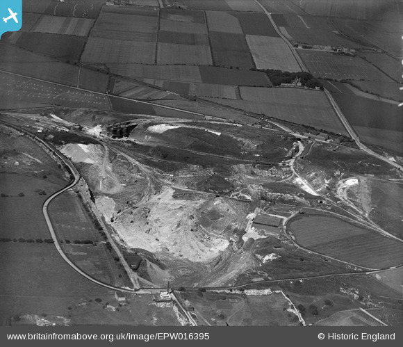
EPW016395 ENGLAND (1926). Fulwell Quarry, Sunderland, 1926
© Copyright OpenStreetMap contributors and licensed by the OpenStreetMap Foundation. 2024. Cartography is licensed as CC BY-SA.
Nearby Images (7)
EPW016395

EPW016398

EPW016400

EPW016402

EPW016397

EPW016399

EPW016394

Details
| Title | [EPW016395] Fulwell Quarry, Sunderland, 1926 |
| Reference | EPW016395 |
| Date | 29-July-1926 |
| Link | |
| Place name | SUNDERLAND |
| Parish | |
| District | |
| Country | ENGLAND |
| Easting / Northing | 438732, 559966 |
| Longitude / Latitude | -1.3954626016044, 54.932785475921 |
| National Grid Reference | NZ387600 |


