
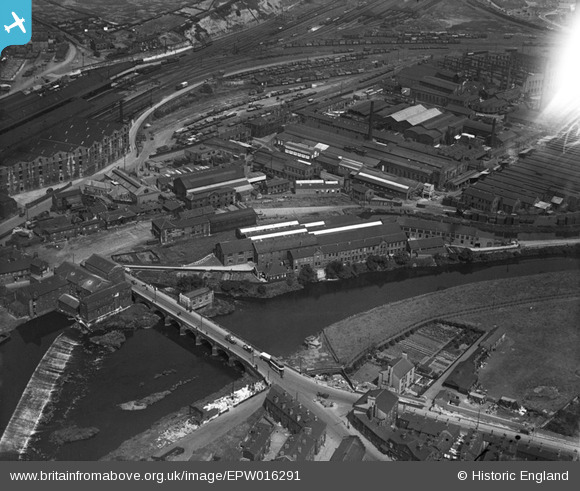
EPW016291 ENGLAND (1926). Wakefield Bridge and factories beside the River Calder, Wakefield, 1926
© Copyright OpenStreetMap contributors and licensed by the OpenStreetMap Foundation. 2024. Cartography is licensed as CC BY-SA.
Nearby Images (12)
EPW016291

EPW032578

EPW016286

EPW032577

EPW032575

EAW002603

EAW003092

EAW002605

EAW002600

EAW002602

EPW032576

EPW032574

Details
| Title | [EPW016291] Wakefield Bridge and factories beside the River Calder, Wakefield, 1926 |
| Reference | EPW016291 |
| Date | 14-July-1926 |
| Link | |
| Place name | WAKEFIELD |
| Parish | |
| District | |
| Country | ENGLAND |
| Easting / Northing | 433892, 420156 |
| Longitude / Latitude | -1.4868736190393, 53.676541759813 |
| National Grid Reference | SE339202 |


