
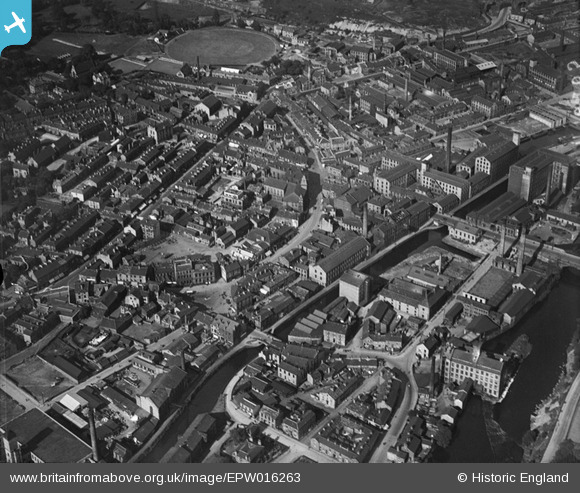
EPW016263 ENGLAND (1926). The town centre, Brighouse, 1926
© Copyright OpenStreetMap contributors and licensed by the OpenStreetMap Foundation. 2024. Cartography is licensed as CC BY-SA.
Nearby Images (4)
EPW016263

EPW024478

EPW024477

EPW016265

Details
| Title | [EPW016263] The town centre, Brighouse, 1926 |
| Reference | EPW016263 |
| Date | 14-July-1926 |
| Link | |
| Place name | BRIGHOUSE |
| Parish | |
| District | |
| Country | ENGLAND |
| Easting / Northing | 414586, 422778 |
| Longitude / Latitude | -1.7790399798982, 53.701006778618 |
| National Grid Reference | SE146228 |
Pins
 Mr |
Saturday 27th of June 2020 07:21:22 PM | |
bob1946 |
Monday 24th of February 2020 05:21:21 AM | |
bob1946 |
Monday 24th of February 2020 05:20:41 AM | |
bob1946 |
Monday 24th of February 2020 05:20:11 AM | |
bob1946 |
Monday 24th of February 2020 05:19:14 AM | |
andyjoneszz |
Sunday 14th of September 2014 06:21:28 PM | |
andyjoneszz |
Sunday 14th of September 2014 06:20:05 PM | |
CompactDstrxion |
Tuesday 31st of December 2013 01:37:19 PM | |
CompactDstrxion |
Tuesday 31st of December 2013 01:36:53 PM | |
CompactDstrxion |
Tuesday 31st of December 2013 01:36:30 PM | |
CompactDstrxion |
Tuesday 31st of December 2013 01:36:10 PM | |
CompactDstrxion |
Tuesday 31st of December 2013 01:35:34 PM | |
CompactDstrxion |
Tuesday 31st of December 2013 01:35:21 PM | |
CompactDstrxion |
Tuesday 31st of December 2013 01:34:18 PM | |
CompactDstrxion |
Tuesday 31st of December 2013 01:33:27 PM | |
CompactDstrxion |
Tuesday 31st of December 2013 01:33:11 PM | |
CompactDstrxion |
Tuesday 31st of December 2013 01:32:54 PM |


