
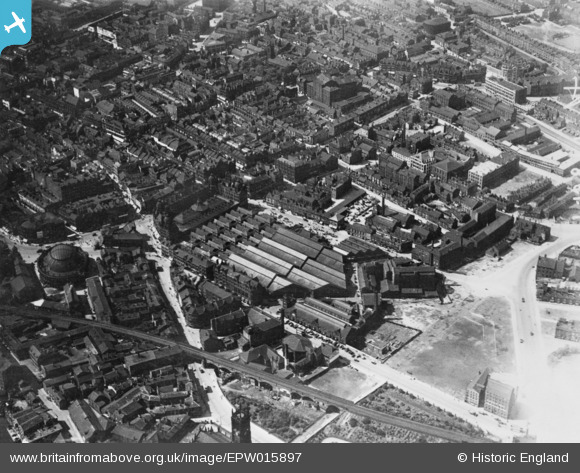
EPW015897 ENGLAND (1926). Kirkgate Market and environs, Leeds, 1926. This image has been produced from a copy-negative.
© Copyright OpenStreetMap contributors and licensed by the OpenStreetMap Foundation. 2024. Cartography is licensed as CC BY-SA.
Nearby Images (6)
EPW015897

EPW015895

EPW057202

EAW015737

EPW057198

EAW014657

Details
| Title | [EPW015897] Kirkgate Market and environs, Leeds, 1926. This image has been produced from a copy-negative. |
| Reference | EPW015897 |
| Date | 24-June-1926 |
| Link | |
| Place name | LEEDS |
| Parish | |
| District | |
| Country | ENGLAND |
| Easting / Northing | 430439, 433580 |
| Longitude / Latitude | -1.5378283580059, 53.797420138916 |
| National Grid Reference | SE304336 |
Pins
Be the first to add a comment to this image!


