
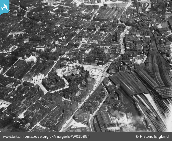
EPW015894 ENGLAND (1926). City Square and environs, Leeds, 1926. This image has been produced from a copy-negative.
© Copyright OpenStreetMap contributors and licensed by the OpenStreetMap Foundation. 2024. Cartography is licensed as CC BY-SA.
Nearby Images (9)
EPW015894

EAW015990

EPW057203

EPW057204

EAW015995

EPW015899

EAW015991

EAW015739

EPW015896

Details
| Title | [EPW015894] City Square and environs, Leeds, 1926. This image has been produced from a copy-negative. |
| Reference | EPW015894 |
| Date | 24-June-1926 |
| Link | |
| Place name | LEEDS |
| Parish | |
| District | |
| Country | ENGLAND |
| Easting / Northing | 429925, 433479 |
| Longitude / Latitude | -1.5456422357023, 53.796542096968 |
| National Grid Reference | SE299335 |
Pins
Be the first to add a comment to this image!


