
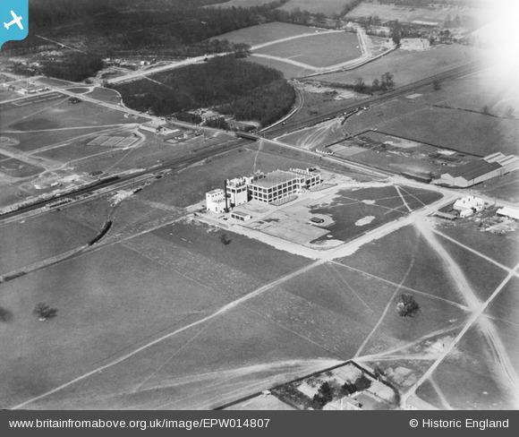
EPW014807 ENGLAND (1926). The Shredded Wheat Factory, Welwyn Garden City, 1926
© Copyright OpenStreetMap contributors and licensed by the OpenStreetMap Foundation. 2024. Cartography is licensed as CC BY-SA.
Nearby Images (28)
EPW014807

EPW014809

EPW014808

EAW053104

EPW054507

EPW025533

EAW053109

EPW054525

EAW053083

EPW022032

EPW062053

EPW054519

EPW022022

EPW025374

EPW054515

EPW022021

EPW022031

EPW054516

EPW022033

EPW054500

EPW025535

EPW025532

EPW054535

EPW054511

EPW054517

EPW054536

EPW047354

EPW047352

Details
| Title | [EPW014807] The Shredded Wheat Factory, Welwyn Garden City, 1926 |
| Reference | EPW014807 |
| Date | 24-March-1926 |
| Link | |
| Place name | WELWYN GARDEN CITY |
| Parish | |
| District | |
| Country | ENGLAND |
| Easting / Northing | 524158, 212925 |
| Longitude / Latitude | -0.19919100469245, 51.800719046254 |
| National Grid Reference | TL242129 |
Pins

User Comment Contributions
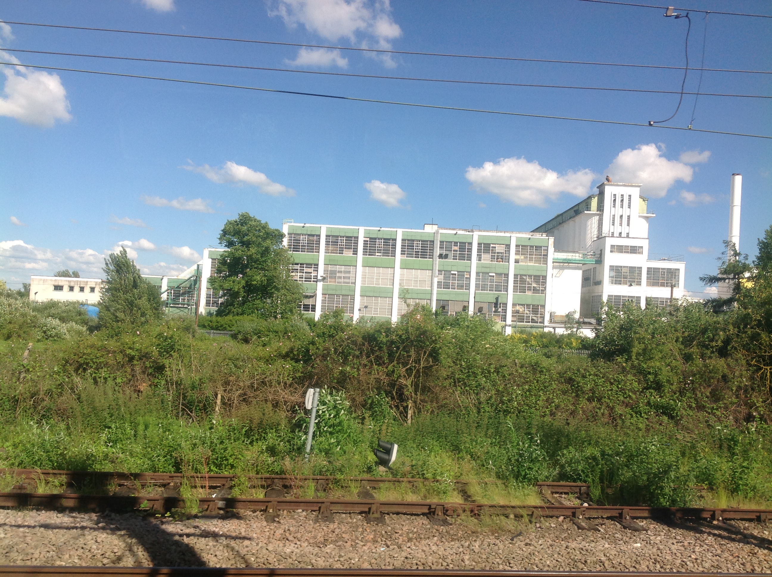 The Shredded Wheat Factory from a train, Welwyn Garden City, 10/06/2014 |
 Class31 |
Wednesday 11th of June 2014 04:51:16 PM |


