
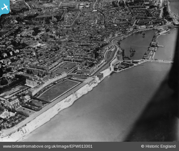
EPW013301 ENGLAND (1925). The Royal Crescent, seafront and town, Ramsgate, 1925. This image has been produced from a print.
© Copyright OpenStreetMap contributors and licensed by the OpenStreetMap Foundation. 2024. Cartography is licensed as CC BY-SA.
Nearby Images (11)
EPW013301

EPW000081

EAW009024

EPW000601

EPW000094

EAW009023

EPW035451

EPW000090

EAW696658

EPW052885

EPW000097

Details
| Title | [EPW013301] The Royal Crescent, seafront and town, Ramsgate, 1925. This image has been produced from a print. |
| Reference | EPW013301 |
| Date | June-1925 |
| Link | |
| Place name | RAMSGATE |
| Parish | RAMSGATE |
| District | |
| Country | ENGLAND |
| Easting / Northing | 637949, 164413 |
| Longitude / Latitude | 1.4159940197581, 51.328443149092 |
| National Grid Reference | TR379644 |
Pins
 Alan McFaden |
Saturday 15th of November 2014 04:32:39 PM | |
Alan McFaden |
Saturday 15th of November 2014 04:31:48 PM | |
Alan McFaden |
Saturday 15th of November 2014 04:31:02 PM | |
Alan McFaden |
Saturday 15th of November 2014 04:29:17 PM |


User Comment Contributions
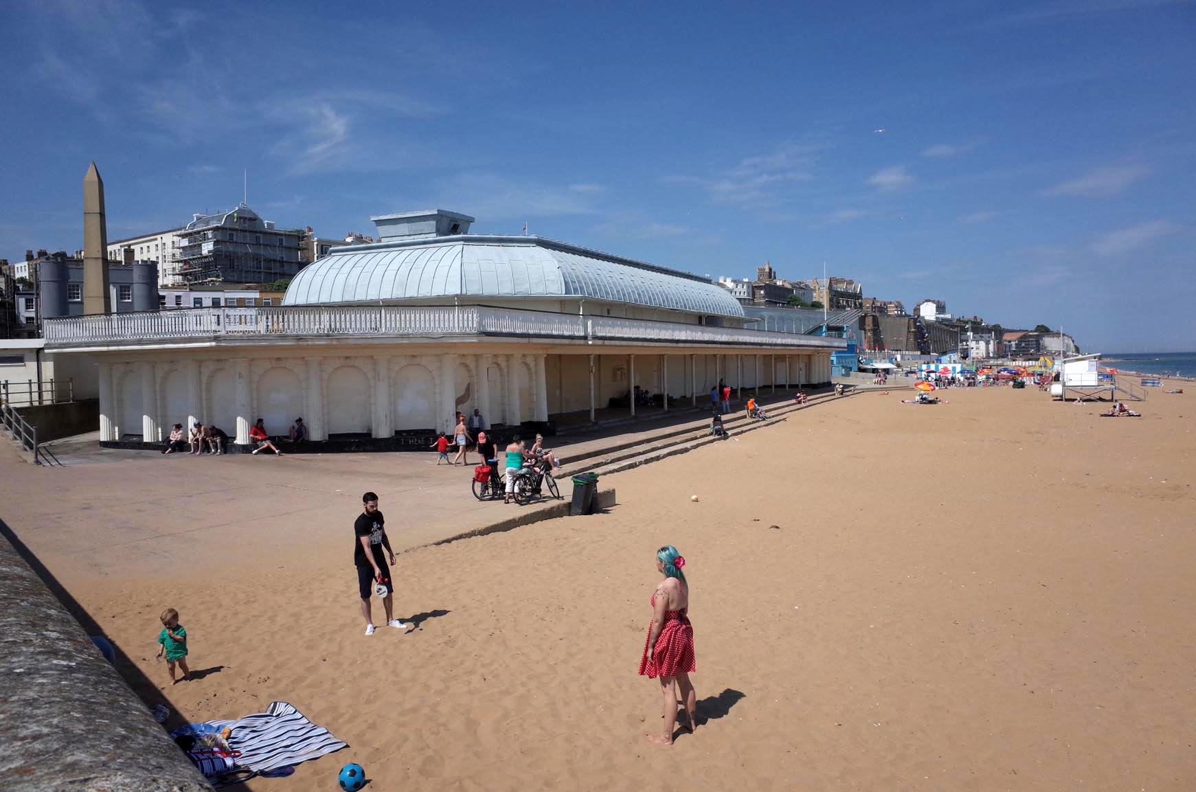 Ramsgate Beach |
Alan McFaden |
Saturday 15th of November 2014 04:30:09 PM |
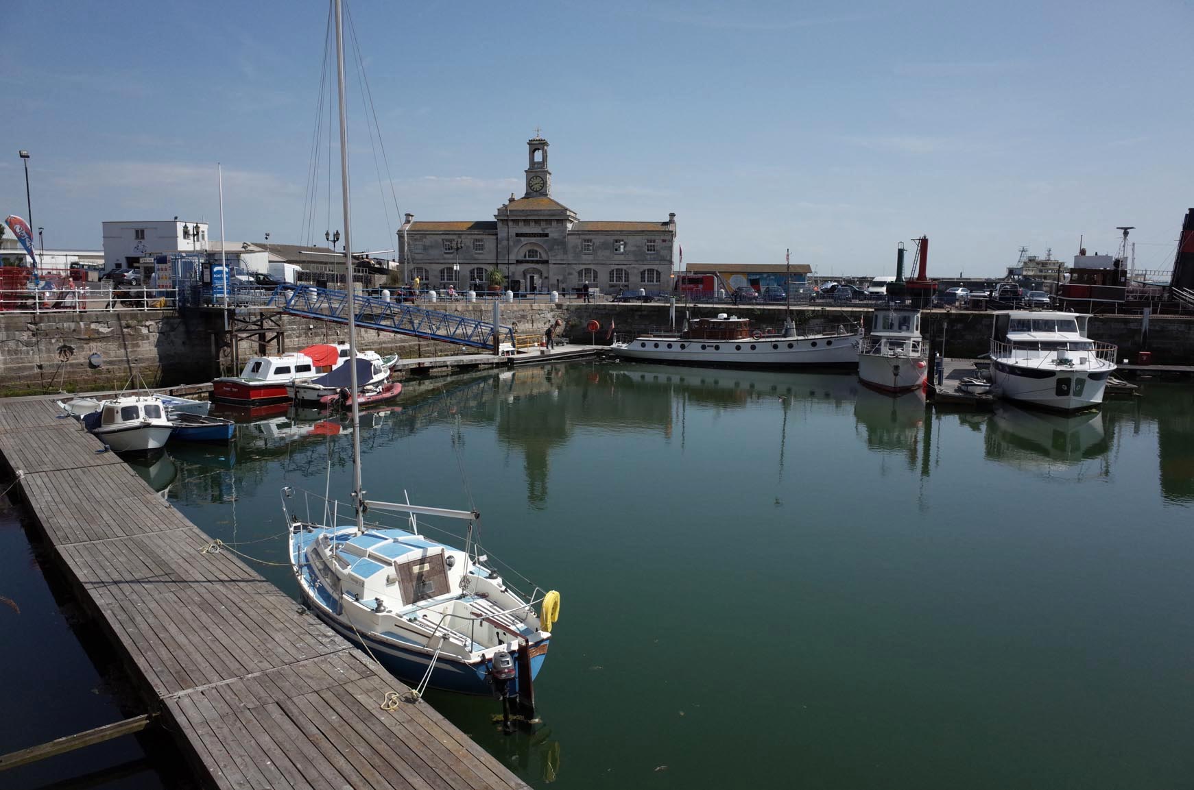 Ramsgate Harbour |
Alan McFaden |
Saturday 15th of November 2014 04:29:49 PM |


