
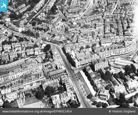
EPW011454 ENGLAND (1924). Five Ways and environs, Royal Tunbridge Wells, 1924. This image has been produced from a print.
© Copyright OpenStreetMap contributors and licensed by the OpenStreetMap Foundation. 2024. Cartography is licensed as CC BY-SA.
Nearby Images (8)
EPW011454

EPW059226

EPW016894

EAW048710

EPW001432

EPR000439

EAW048709

EAW048711

Details
| Title | [EPW011454] Five Ways and environs, Royal Tunbridge Wells, 1924. This image has been produced from a print. |
| Reference | EPW011454 |
| Date | July-1924 |
| Link | |
| Place name | ROYAL TUNBRIDGE WELLS |
| Parish | |
| District | |
| Country | ENGLAND |
| Easting / Northing | 558484, 139619 |
| Longitude / Latitude | 0.26542652995914, 51.133358688674 |
| National Grid Reference | TQ585396 |
Pins
Be the first to add a comment to this image!


