
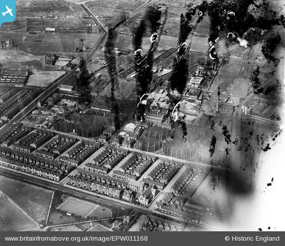
EPW011168 ENGLAND (1924). The Linacre Gas Works, Bootle, 1924
© Copyright OpenStreetMap contributors and licensed by the OpenStreetMap Foundation. 2024. Cartography is licensed as CC BY-SA.
Nearby Images (12)
EPW011168

EPW011166

EPW011165

EPW011164

EPW050520

EPW011167

EAW036946

EAW036949

EAW036058

EAW036948

EAW036059

EPW025319

Details
| Title | [EPW011168] The Linacre Gas Works, Bootle, 1924 |
| Reference | EPW011168 |
| Date | July-1924 |
| Link | |
| Place name | BOOTLE |
| Parish | |
| District | |
| Country | ENGLAND |
| Easting / Northing | 334521, 396071 |
| Longitude / Latitude | -2.9862459706019, 53.457061943986 |
| National Grid Reference | SJ345961 |
Pins
 PaulaD |
Tuesday 10th of May 2022 04:29:36 PM |


