
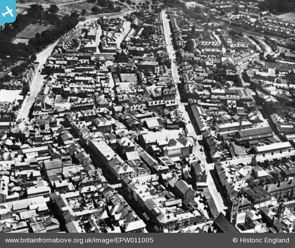
EPW011005 ENGLAND (1924). Victoria Road and environs, Aldershot, 1924. This image has been produced from a print.
© Copyright OpenStreetMap contributors and licensed by the OpenStreetMap Foundation. 2024. Cartography is licensed as CC BY-SA.
Nearby Images (7)
EPW011005

EPW011009

EPW056800

EPW056798

EPW056803

EPW032314

EPW056802

Details
| Title | [EPW011005] Victoria Road and environs, Aldershot, 1924. This image has been produced from a print. |
| Reference | EPW011005 |
| Date | July-1924 |
| Link | |
| Place name | ALDERSHOT |
| Parish | |
| District | |
| Country | ENGLAND |
| Easting / Northing | 486338, 150692 |
| Longitude / Latitude | -0.76282632149505, 51.248343717798 |
| National Grid Reference | SU863507 |
Pins
 Simon Chappell |
Friday 14th of October 2016 11:34:11 AM | |
Simon Chappell |
Friday 14th of October 2016 11:33:35 AM |


