
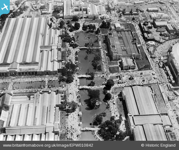
EPW010842 ENGLAND (1924). The British Empire Exhibition, Wembley Park, 1924
© Copyright OpenStreetMap contributors and licensed by the OpenStreetMap Foundation. 2024. Cartography is licensed as CC BY-SA.
Nearby Images (48)
EPW010842

EPW009601

EPW010736

EPW040768

EPW040769

EPW010726

EPW010848

EPW009806

EAW018316

EPW009540

EPW012752

EAW018315

EPW040770

EPW009546

EPW020861

EPW010735

EPW011385

EPW008242

EPW009602

EPW009670

EPW008279
 and site under construction, Wembley Park, 1923. This image has been produced from a copy-negative.")
EPW009232

EPW017629

EPW008076
 under construction, Wembley Park, from the north-west, 1922. This image has been produced from a copy-negative.")
EAW048874

EPW007831

EPW010847

EPW035050

EPW045706

EPW010846

EPW010737

EAW026797

EAW018317

EPW017623

EPW034580

EAW048875

EAW048880

EPW046239

EAW048879

EPW010845

EAW038566
 at Wembley Stadium, 1951. This image has been produced from a print.")
EPW009807

EPW017635

EAW017619

EAW017618

EPW009653

EPW010844

EPW017625

Details
| Title | [EPW010842] The British Empire Exhibition, Wembley Park, 1924 |
| Reference | EPW010842 |
| Date | June-1924 |
| Link | |
| Place name | WEMBLEY PARK |
| Parish | |
| District | |
| Country | ENGLAND |
| Easting / Northing | 519400, 185767 |
| Longitude / Latitude | -0.27745661955766, 51.557655456507 |
| National Grid Reference | TQ194858 |
Pins
Be the first to add a comment to this image!


