
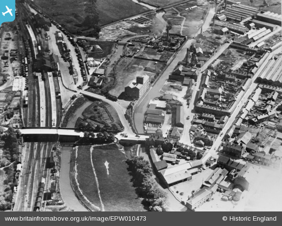
EPW010473 ENGLAND (1924). Bridge Street, Banbury Railway Station, the Oxford Canal and environs, Banbury, 1924. This image has been produced from a copy-negative affected by flare.
© Copyright OpenStreetMap contributors and licensed by the OpenStreetMap Foundation. 2024. Cartography is licensed as CC BY-SA.
Nearby Images (8)
EPW010473

EPW028262

EPW007505

EPW007506

EPW007504

EPW007503

EPW007508

EPW010585

Details
| Title | [EPW010473] Bridge Street, Banbury Railway Station, the Oxford Canal and environs, Banbury, 1924. This image has been produced from a copy-negative affected by flare. |
| Reference | EPW010473 |
| Date | 28-May-1924 |
| Link | |
| Place name | BANBURY |
| Parish | BANBURY |
| District | |
| Country | ENGLAND |
| Easting / Northing | 446032, 240522 |
| Longitude / Latitude | -1.328496195818, 52.060743616661 |
| National Grid Reference | SP460405 |
Pins
 John W |
Sunday 21st of August 2016 06:09:24 PM | |
John W |
Sunday 21st of August 2016 06:07:34 PM | |
John W |
Sunday 21st of August 2016 06:07:09 PM | |
John Wass |
Tuesday 30th of June 2015 03:44:34 PM | |
Banbury North signal box. Closed in July 2016, and is to be demolished on October, as part of a large-scale resignalling of the station and renewal of track. (The South box has already been demolished.) Interestingly, at some point after this photo was taken, the Cherwell was moved slightly westwards, and a further railway line built on the west side of the box. This was a major factor in preventing the box being preserved due to the access problems this caused. |
John W |
Sunday 21st of August 2016 06:06:45 PM |


