
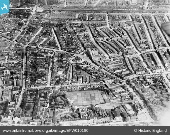
EPW010160 ENGLAND (1924). The Triangle, Wells Crescent and environs, Camberwell, 1924. This image has been produced from a copy-negative.
© Copyright OpenStreetMap contributors and licensed by the OpenStreetMap Foundation. 2024. Cartography is licensed as CC BY-SA.
Nearby Images (7)
EPW010160

EPW011159

EPW010166

EPW010956

EPW011157

EPW011158

EPW010203
, Camberwell, 1924. This image has been produced from a copy-negative.")
Details
| Title | [EPW010160] The Triangle, Wells Crescent and environs, Camberwell, 1924. This image has been produced from a copy-negative. |
| Reference | EPW010160 |
| Date | April-1924 |
| Link | |
| Place name | CAMBERWELL |
| Parish | |
| District | |
| Country | ENGLAND |
| Easting / Northing | 533383, 177091 |
| Longitude / Latitude | -0.079128398444039, 51.476547102273 |
| National Grid Reference | TQ334771 |
Pins
 Caryroger |
Thursday 27th of February 2020 01:56:37 PM | |
Leslie B |
Wednesday 28th of December 2016 06:21:10 PM | |
Leslie B |
Wednesday 28th of December 2016 06:18:57 PM | |
Leslie B |
Wednesday 28th of December 2016 06:17:02 PM | |
camberwellbeauty |
Tuesday 28th of July 2015 09:01:28 AM | |
camberwellbeauty |
Tuesday 28th of July 2015 09:01:00 AM | |
camberwellbeauty |
Tuesday 28th of July 2015 08:58:13 AM | |
camberwellbeauty |
Tuesday 28th of July 2015 08:31:46 AM | |
camberwellbeauty |
Tuesday 28th of July 2015 08:29:05 AM | |
The old Town Hall - New one built later (Mentioned by Lord Haw-Haw as a target but not fullfilled) |
Caryroger |
Thursday 27th of February 2020 01:52:26 PM |
camberwellbeauty |
Tuesday 28th of July 2015 08:27:25 AM | |
camberwellbeauty |
Tuesday 28th of July 2015 07:18:58 AM | |
Chelsea61 |
Friday 3rd of October 2014 01:43:43 PM |


