
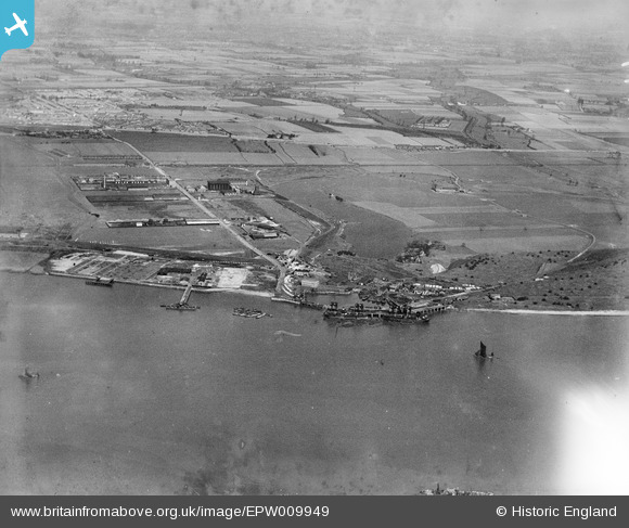
EPW009949 ENGLAND (1924). Dagenham Dock, Dagenham, from the south-west, 1924
© Copyright OpenStreetMap contributors and licensed by the OpenStreetMap Foundation. 2024. Cartography is licensed as CC BY-SA.
Nearby Images (8)
EPW009949

EAW031150

EPW040945

EAW031149

EAW031153

EAW031151

EPW040946

EPW010924

Details
| Title | [EPW009949] Dagenham Dock, Dagenham, from the south-west, 1924 |
| Reference | EPW009949 |
| Date | March-1924 |
| Link | |
| Place name | DAGENHAM |
| Parish | |
| District | |
| Country | ENGLAND |
| Easting / Northing | 548778, 181521 |
| Longitude / Latitude | 0.14428730426674, 51.512516434573 |
| National Grid Reference | TQ488815 |
Pins
Be the first to add a comment to this image!


