
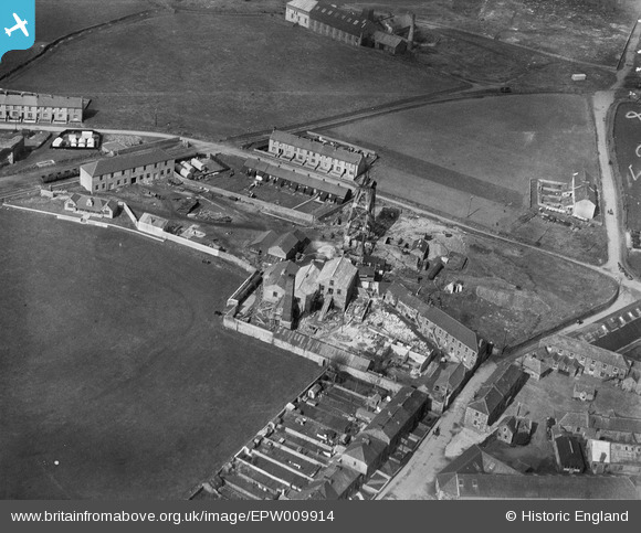
EPW009914 ENGLAND (1924). Roskear, Tuckingmill, 1924
© Copyright OpenStreetMap contributors and licensed by the OpenStreetMap Foundation. 2024. Cartography is licensed as CC BY-SA.
Nearby Images (14)
EPW009914

EPW009913

EPW009912

EPW009916

EPW009917

EPW009915

EPW009911

EAW027861

EAW027863

EAW027862

EPW009928

EPW009926

EPW009927

EAW027864

Details
| Title | [EPW009914] Roskear, Tuckingmill, 1924 |
| Reference | EPW009914 |
| Date | March-1924 |
| Link | |
| Place name | TUCKINGMILL |
| Parish | CAMBORNE |
| District | |
| Country | ENGLAND |
| Easting / Northing | 165579, 40962 |
| Longitude / Latitude | -5.2867352772694, 50.221508241648 |
| National Grid Reference | SW656410 |
Pins
Be the first to add a comment to this image!


