
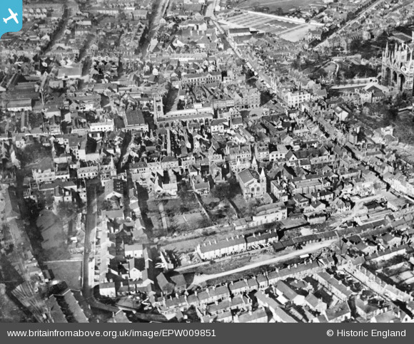
EPW009851 ENGLAND (1924). Priestgate and the surrounding city, Peterborough, 1924. This image has been produced from a copy-negative.
© Copyright OpenStreetMap contributors and licensed by the OpenStreetMap Foundation. 2024. Cartography is licensed as CC BY-SA.
Nearby Images (2)
EPW009851

EPW050306

Details
| Title | [EPW009851] Priestgate and the surrounding city, Peterborough, 1924. This image has been produced from a copy-negative. |
| Reference | EPW009851 |
| Date | March-1924 |
| Link | |
| Place name | PETERBOROUGH |
| Parish | |
| District | |
| Country | ENGLAND |
| Easting / Northing | 519068, 298555 |
| Longitude / Latitude | -0.24289526107881, 52.57140839232 |
| National Grid Reference | TL191986 |
Pins
Be the first to add a comment to this image!


