
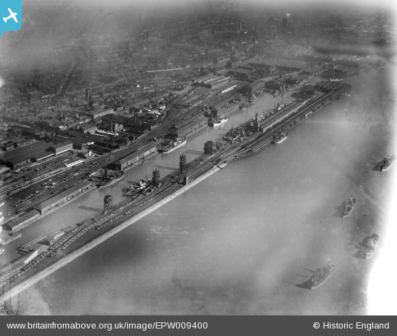
EPW009400 ENGLAND (1923). The Albert Docks and environs, Kingston upon Hull, 1923
© Copyright OpenStreetMap contributors and licensed by the OpenStreetMap Foundation. 2024. Cartography is licensed as CC BY-SA.
Nearby Images (9)
EPW009400

EAW004515

EAW046147

EPW010814

EPW009398

EPW036387

EAW004513

EPW009399

EPW036376

Details
| Title | [EPW009400] The Albert Docks and environs, Kingston upon Hull, 1923 |
| Reference | EPW009400 |
| Date | 1923 |
| Link | |
| Place name | KINGSTON UPON HULL |
| Parish | |
| District | |
| Country | ENGLAND |
| Easting / Northing | 508899, 427601 |
| Longitude / Latitude | -0.34898658706203, 53.733192211533 |
| National Grid Reference | TA089276 |
Pins
Be the first to add a comment to this image!


