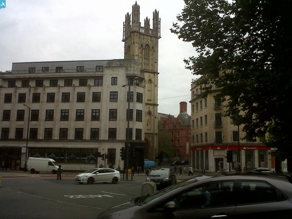
EPW008828 ENGLAND (1923). The Cathedral Church of St Augustine and environs, Bristol, 1923

© Copyright OpenStreetMap contributors and licensed by the OpenStreetMap Foundation. 2024. Cartography is licensed as CC BY-SA.
Nearby Images (31)
EPW008828

EPW005462

EPW005472

EPW005473

EAW002262

EAW002045

EPR000106

EAW052874

EPW033502

EAW052884

EPW012017

EAW052883

EAW052885

EAW002052

EAW002048

EPW005442

EPW033504

EPW005448

EPW005452

EPW005450

EPW005451

EAW002053

EPW033506

EPW005440

EPW005447

EPW012022

EAW050556

EPW005449

EPW041479

EPW005441

EPW005446

Details
| Title | [EPW008828] The Cathedral Church of St Augustine and environs, Bristol, 1923 |
| Reference | EPW008828 |
| Date | 1923 |
| Link | |
| Place name | BRISTOL |
| Parish | |
| District | |
| Country | ENGLAND |
| Easting / Northing | 358349, 172632 |
| Longitude / Latitude | -2.5994611744828, 51.450649635085 |
| National Grid Reference | ST583726 |
Pins
 Mariateresa |
Friday 13th of December 2013 10:23:20 PM | |
 Class31 |
Monday 10th of June 2013 01:03:01 PM | |
Class31 |
Saturday 18th of May 2013 08:47:44 PM |