
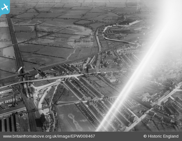
EPW008467 ENGLAND (1923). The Hosiery Works and environs, Loughborough, 1923
© Copyright OpenStreetMap contributors and licensed by the OpenStreetMap Foundation. 2024. Cartography is licensed as CC BY-SA.
Nearby Images (5)
EPW008467

EPW008469

EPW008468

EPW008470

EAW009514

Details
| Title | [EPW008467] The Hosiery Works and environs, Loughborough, 1923 |
| Reference | EPW008467 |
| Date | 1923 |
| Link | |
| Place name | LOUGHBOROUGH |
| Parish | |
| District | |
| Country | ENGLAND |
| Easting / Northing | 454267, 320188 |
| Longitude / Latitude | -1.1954456989636, 52.776213616119 |
| National Grid Reference | SK543202 |
Pins
 John Wass |
Friday 28th of December 2018 02:27:33 PM |


