
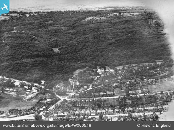
EPW006548 ENGLAND (1921). The edge of Loughton looking towards Epping Forest, Loughton, 1921. This image has been produced from a print.
© Copyright OpenStreetMap contributors and licensed by the OpenStreetMap Foundation. 2024. Cartography is licensed as CC BY-SA.
Details
| Title | [EPW006548] The edge of Loughton looking towards Epping Forest, Loughton, 1921. This image has been produced from a print. |
| Reference | EPW006548 |
| Date | 7-June-1921 |
| Link | |
| Place name | LOUGHTON |
| Parish | LOUGHTON |
| District | |
| Country | ENGLAND |
| Easting / Northing | 542258, 197019 |
| Longitude / Latitude | 0.056663669243334, 51.653470304165 |
| National Grid Reference | TQ423970 |


