
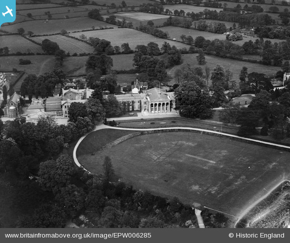
EPW006285 ENGLAND (1921). Mill Hill School, Mill Hill, 1921
© Copyright OpenStreetMap contributors and licensed by the OpenStreetMap Foundation. 2024. Cartography is licensed as CC BY-SA.
Nearby Images (14)
EPW006285

EPW005604

EPW005608

EPW006287

EPW006288

EPW025805

EPW005605

EPW009650

EPW005607

EPW005606

EPW034608

EPW005609

EPW034607

EPW034605

Details
| Title | [EPW006285] Mill Hill School, Mill Hill, 1921 |
| Reference | EPW006285 |
| Date | 23-May-1921 |
| Link | |
| Place name | MILL HILL |
| Parish | |
| District | |
| Country | ENGLAND |
| Easting / Northing | 522581, 192609 |
| Longitude / Latitude | -0.22919873719602, 51.618469471729 |
| National Grid Reference | TQ226926 |
Pins
Be the first to add a comment to this image!


