
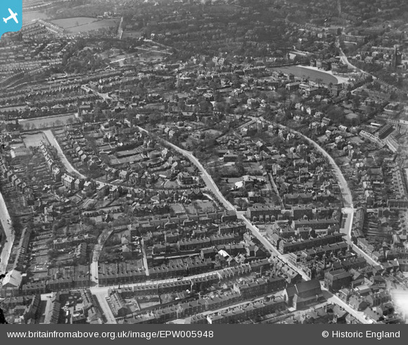
EPW005948 ENGLAND (1921). Broomhall Road and environs, Sheffield, from the east, 1921
© Copyright OpenStreetMap contributors and licensed by the OpenStreetMap Foundation. 2024. Cartography is licensed as CC BY-SA.
Nearby Images (4)
EPW005948

EAW031258

EAW031255

EAW006278

Details
| Title | [EPW005948] Broomhall Road and environs, Sheffield, from the east, 1921 |
| Reference | EPW005948 |
| Date | 26-April-1921 |
| Link | |
| Place name | SHEFFIELD |
| Parish | |
| District | |
| Country | ENGLAND |
| Easting / Northing | 434363, 386576 |
| Longitude / Latitude | -1.4834287573764, 53.374658536283 |
| National Grid Reference | SK344866 |
Pins
 Hunty |
Saturday 9th of December 2023 11:49:13 AM | |
Gabes |
Saturday 9th of May 2020 12:32:11 PM | |
Gabes |
Saturday 9th of May 2020 12:30:54 PM | |
 Class31 |
Wednesday 31st of October 2012 08:53:54 PM | |
Class31 |
Wednesday 31st of October 2012 08:51:57 PM | |
Class31 |
Wednesday 31st of October 2012 08:50:34 PM | |
Class31 |
Wednesday 31st of October 2012 08:50:03 PM | |
Class31 |
Wednesday 31st of October 2012 08:49:35 PM | |
Class31 |
Wednesday 31st of October 2012 08:49:16 PM | |
flubber |
Monday 30th of July 2012 12:39:51 AM | |
flubber |
Monday 30th of July 2012 12:38:23 AM |


