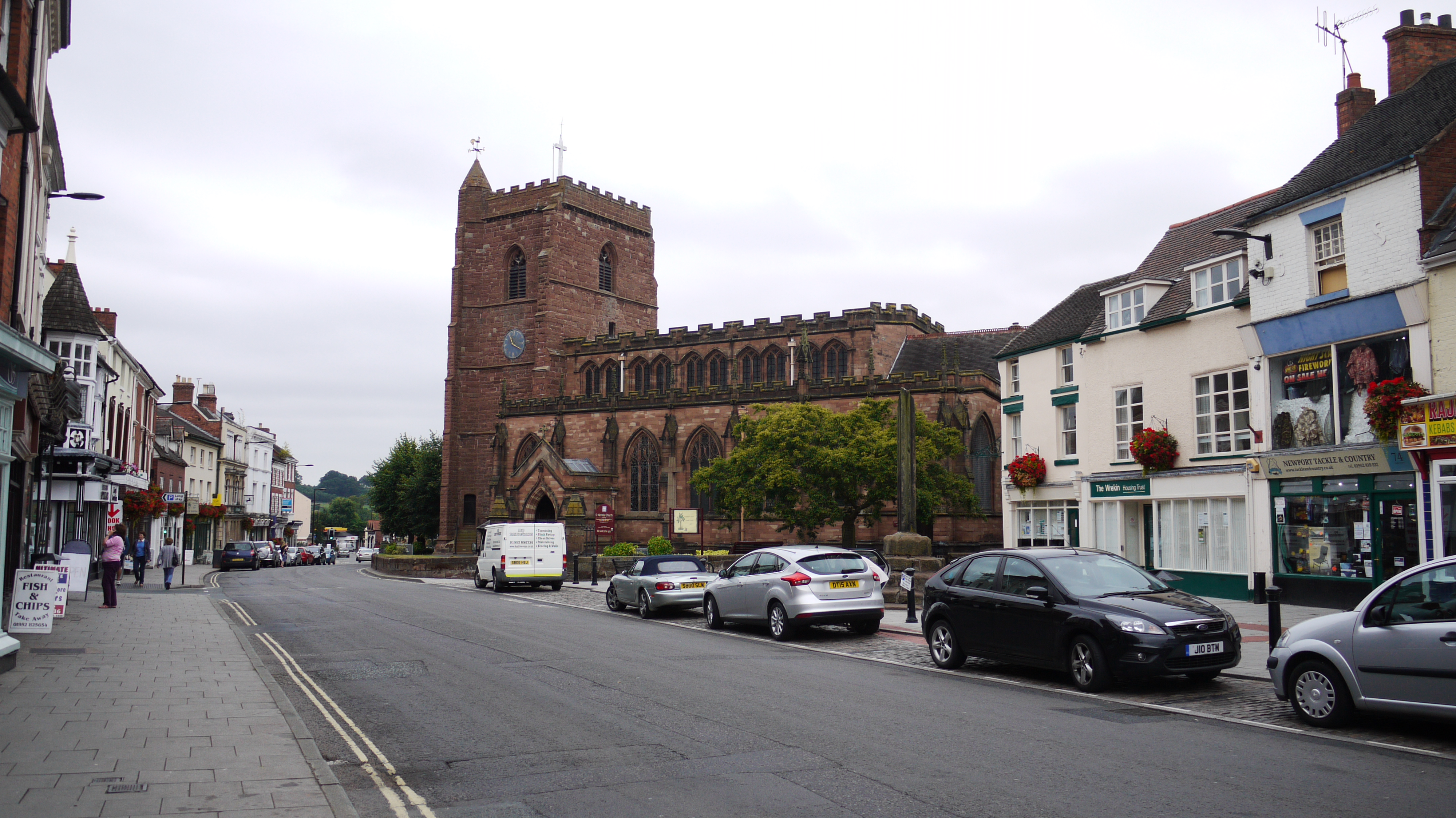
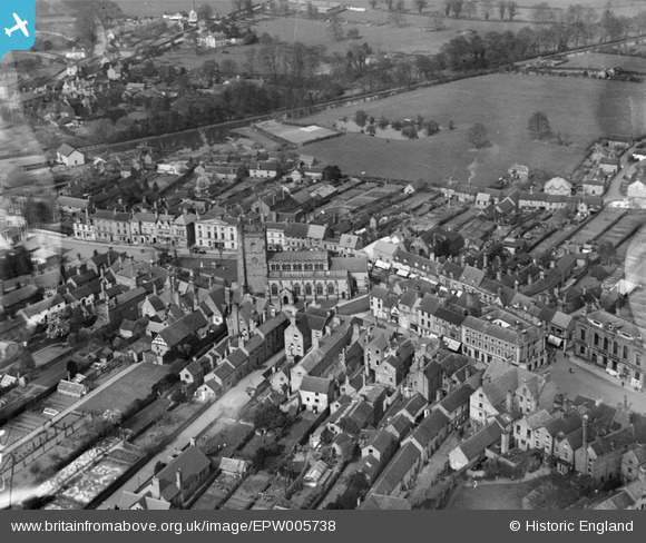
EPW005738 ENGLAND (1921). St Nicholas's Church and the town centre, Newport, 1921
© Copyright OpenStreetMap contributors and licensed by the OpenStreetMap Foundation. 2024. Cartography is licensed as CC BY-SA.
Nearby Images (10)
EPW005738

EPW034052

EPW005739

EPW034050

EAW006709

EAW006711

EAW006710

EPW034051

EPW005737

EPR000558

Details
| Title | [EPW005738] St Nicholas's Church and the town centre, Newport, 1921 |
| Reference | EPW005738 |
| Date | March-1921 |
| Link | |
| Place name | NEWPORT |
| Parish | NEWPORT |
| District | |
| Country | ENGLAND |
| Easting / Northing | 374516, 319176 |
| Longitude / Latitude | -2.377758969354, 52.769241533502 |
| National Grid Reference | SJ745192 |
Pins
 Class31 |
Monday 17th of August 2015 10:57:44 PM |