
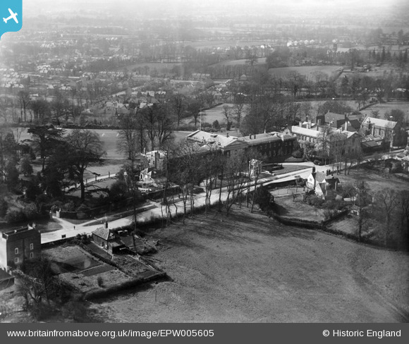
EPW005605 ENGLAND (1921). Mill Hill School, Mill Hill, from the east, 1921
© Copyright OpenStreetMap contributors and licensed by the OpenStreetMap Foundation. 2024. Cartography is licensed as CC BY-SA.
Nearby Images (13)
EPW005605

EPW006288

EPW005604

EPW006287

EPW034607

EPW006285

EPW005608

EPW034608

EPW025805

EPW009650

EPW005607

EPW034605

EPW005606

Details
| Title | [EPW005605] Mill Hill School, Mill Hill, from the east, 1921 |
| Reference | EPW005605 |
| Date | March-1921 |
| Link | |
| Place name | MILL HILL |
| Parish | |
| District | |
| Country | ENGLAND |
| Easting / Northing | 522681, 192622 |
| Longitude / Latitude | -0.22775033161662, 51.618564524623 |
| National Grid Reference | TQ227926 |
Pins
 John G. |
Friday 13th of February 2015 04:58:31 PM |


