
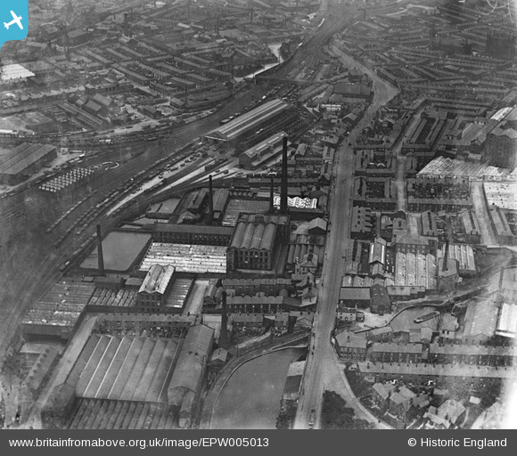
EPW005013 ENGLAND (1920). Bolton Road Goods Yard, Wellington Mill, New Mill and environs, Blackburn, 1920
© Copyright OpenStreetMap contributors and licensed by the OpenStreetMap Foundation. 2024. Cartography is licensed as CC BY-SA.
Nearby Images (9)
EPW005013

EAW045375

EAW045369

EAW045367

EAW045371

EAW045373

EAW045368

EAW045374

EAW045372

Details
| Title | [EPW005013] Bolton Road Goods Yard, Wellington Mill, New Mill and environs, Blackburn, 1920 |
| Reference | EPW005013 |
| Date | August-1920 |
| Link | |
| Place name | BLACKBURN |
| Parish | |
| District | |
| Country | ENGLAND |
| Easting / Northing | 367938, 427074 |
| Longitude / Latitude | -2.4861374968812, 53.738841944998 |
| National Grid Reference | SD679271 |
Pins
 SUHAIL SLAYER |
Saturday 15th of October 2022 11:51:45 AM | |
 powerpop |
Saturday 7th of July 2018 08:51:48 PM | |
powerpop |
Sunday 17th of January 2016 05:07:20 PM | |
John Wass |
Sunday 3rd of May 2015 08:22:07 PM | |
John Wass |
Sunday 3rd of May 2015 08:20:06 PM | |
John Wass |
Sunday 3rd of May 2015 08:17:51 PM | |
larkrise2 |
Friday 24th of August 2012 09:17:08 PM | |
larkrise2 |
Friday 24th of August 2012 08:14:51 PM | |
larkrise2 |
Friday 24th of August 2012 08:11:26 PM | |
larkrise2 |
Friday 24th of August 2012 08:09:39 PM | |
larkrise2 |
Friday 24th of August 2012 08:07:25 PM | |
larkrise2 |
Friday 24th of August 2012 08:06:36 PM | |
larkrise2 |
Friday 24th of August 2012 08:05:46 PM | |
larkrise2 |
Friday 24th of August 2012 08:04:46 PM | |
larkrise2 |
Friday 24th of August 2012 08:03:23 PM |


