
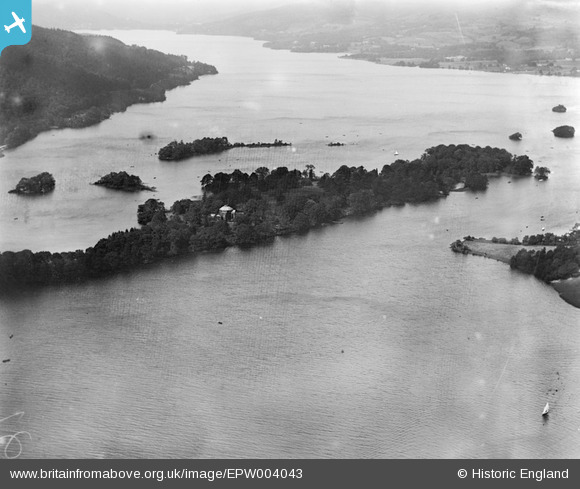
EPW004043 ENGLAND (1920). Belle Isle, Windermere, 1920
© Copyright OpenStreetMap contributors and licensed by the OpenStreetMap Foundation. 2024. Cartography is licensed as CC BY-SA.
Nearby Images (4)
EPW004043

EPW004034

EPW026745

EPW026774

Details
| Title | [EPW004043] Belle Isle, Windermere, 1920 |
| Reference | EPW004043 |
| Date | August-1920 |
| Link | |
| Place name | WINDERMERE |
| Parish | WINDERMERE |
| District | |
| Country | ENGLAND |
| Easting / Northing | 339365, 496472 |
| Longitude / Latitude | -2.9331984358177, 54.360013850371 |
| National Grid Reference | SD394965 |
Pins
 Class31 |
Thursday 4th of October 2012 05:41:50 PM |


