
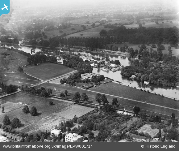
EPW001714 ENGLAND (1920). Hurst Park Racecourse and Taggs Island, Hurst Park, 1920
© Copyright OpenStreetMap contributors and licensed by the OpenStreetMap Foundation. 2024. Cartography is licensed as CC BY-SA.
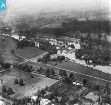
Nearby Images (8)
EPW001714

EAW003674

EPW022845

EPW008895

EPW049597

EPW021886

EPW008894

EPW049593

Details
| Title | [EPW001714] Hurst Park Racecourse and Taggs Island, Hurst Park, 1920 |
| Reference | EPW001714 |
| Date | June-1920 |
| Link | |
| Place name | HURST PARK |
| Parish | |
| District | |
| Country | ENGLAND |
| Easting / Northing | 514778, 168884 |
| Longitude / Latitude | -0.34959463031907, 51.406857390481 |
| National Grid Reference | TQ148689 |
Pins
 loweightes |
Tuesday 27th of August 2013 05:25:54 PM | |
loweightes |
Tuesday 27th of August 2013 05:25:29 PM |
User Comment Contributions
 Hurst Park Racecourse, East Molesey Cricket Ground, Watercraft Ltd., The Karsino, Tagg's Island |
SteveB |
Friday 13th of July 2012 11:07:00 AM |


