
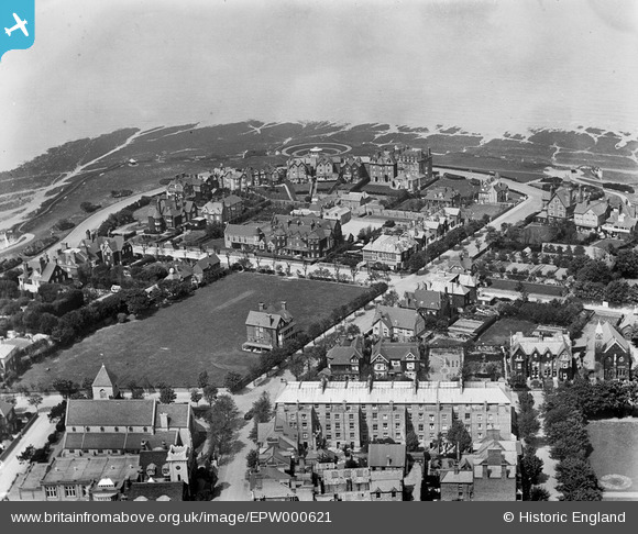
EPW000621 ENGLAND (1920). Wellington House, Westgate-on-Sea, 1920
© Copyright OpenStreetMap contributors and licensed by the OpenStreetMap Foundation. 2024. Cartography is licensed as CC BY-SA.
Nearby Images (5)
EPW000621

EPW035480

EPW042857

EPW000620

EAW015839

Details
| Title | [EPW000621] Wellington House, Westgate-on-Sea, 1920 |
| Reference | EPW000621 |
| Date | April-1920 |
| Link | |
| Place name | WESTGATE-ON-SEA |
| Parish | |
| District | |
| Country | ENGLAND |
| Easting / Northing | 632229, 170277 |
| Longitude / Latitude | 1.3378568411445, 51.383451368483 |
| National Grid Reference | TR322703 |
Pins
 242_Cat |
Thursday 26th of March 2020 03:42:32 PM |


