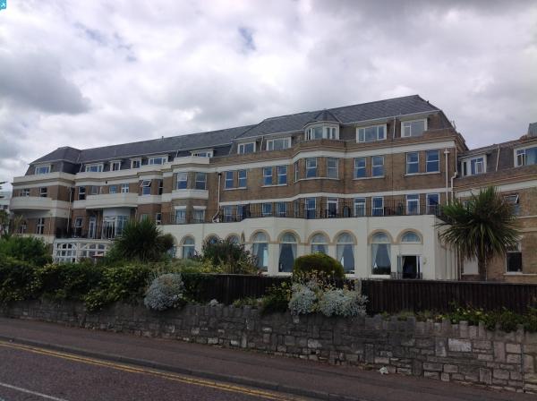
EPW000276 ENGLAND (1920). East Overcliff Drive, Bournemouth, from the south-east, 1920

© Copyright OpenStreetMap contributors and licensed by the OpenStreetMap Foundation. 2024. Cartography is licensed as CC BY-SA.
Nearby Images (10)
EPW000276

EPW000250

EAW018155

EPR000659

EAW034623

EPW000279

EAW035605

EAW002995

EPW018153

EPW018152

Details
| Title | [EPW000276] East Overcliff Drive, Bournemouth, from the south-east, 1920 |
| Reference | EPW000276 |
| Date | April-1920 |
| Link | |
| Place name | BOURNEMOUTH |
| Parish | |
| District | |
| Country | ENGLAND |
| Easting / Northing | 409741, 91083 |
| Longitude / Latitude | -1.8619985863862, 50.718718368149 |
| National Grid Reference | SZ097911 |
Pins
 Class31 |
Tuesday 15th of July 2014 07:49:54 AM | |
Class31 |
Tuesday 15th of July 2014 07:48:51 AM | |
This is actually East Cliff Mansions. East Cliff Court is next on the left - smaller in 1920 than now! |
 Head-in-the-Clouds |
Tuesday 9th of September 2014 08:48:43 PM |
 Peter Kazmierczak |
Sunday 15th of September 2013 03:55:03 PM | |
Peter Kazmierczak |
Sunday 15th of September 2013 03:53:36 PM | |
Peter Kazmierczak |
Sunday 15th of September 2013 03:52:29 PM | |
Peter Kazmierczak |
Sunday 15th of September 2013 03:51:03 PM | |
Peter Kazmierczak |
Sunday 15th of September 2013 03:48:50 PM | |
micky |
Wednesday 2nd of January 2013 09:06:43 AM | |
micky |
Wednesday 2nd of January 2013 09:03:29 AM | |
micky |
Wednesday 2nd of January 2013 09:00:27 AM |