
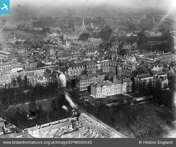
EPW000043 ENGLAND (1920). The Downing Site, Cambridge, 1920
© Copyright OpenStreetMap contributors and licensed by the OpenStreetMap Foundation. 2024. Cartography is licensed as CC BY-SA.
Nearby Images (22)
EPW000043

EPW000039

EPW009780

EPW025464

EPW009773

EAW014114

EPW009785

EPW045938

EPW045942

EPW045939

EAW018200

EPW045941

EAW018198

EPW000047

EAW018201

EAW018199

EPW045940

EPW000059

EAW018197

EAW018196

EAW018195

EPW059041

Details
| Title | [EPW000043] The Downing Site, Cambridge, 1920 |
| Reference | EPW000043 |
| Date | January-1920 |
| Link | |
| Place name | CAMBRIDGE |
| Parish | |
| District | |
| Country | ENGLAND |
| Easting / Northing | 545074, 258195 |
| Longitude / Latitude | 0.1231389990515, 52.202462650927 |
| National Grid Reference | TL451582 |
Pins
 Class31 |
Wednesday 18th of June 2014 09:31:21 AM | |
Class31 |
Wednesday 18th of June 2014 09:29:47 AM | |
Class31 |
Wednesday 18th of June 2014 09:19:12 AM | |
Class31 |
Wednesday 18th of June 2014 09:17:42 AM | |
Class31 |
Wednesday 18th of June 2014 09:16:16 AM | |
Class31 |
Wednesday 18th of June 2014 09:15:20 AM | |
Class31 |
Wednesday 18th of June 2014 09:14:11 AM | |
Class31 |
Wednesday 18th of June 2014 09:12:53 AM |


