
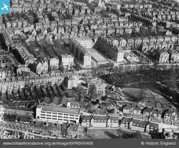
EPR000468 ENGLAND (1935). Richmond Hill Court and environs, Richmond Hill, 1935
© Copyright OpenStreetMap contributors and licensed by the OpenStreetMap Foundation. 2024. Cartography is licensed as CC BY-SA.
Nearby Images (15)
EPR000468

EPW036444

EPW036443

EPW036446

EPW036450

EPW036447

EAW026800

EPW036449

EPW036448

EPW036445

EPW022841

EAW026801

EPW008870

EPW056167

EPW035019

Details
| Title | [EPR000468] Richmond Hill Court and environs, Richmond Hill, 1935 |
| Reference | EPR000468 |
| Date | 21-March-1935 |
| Link | |
| Place name | RICHMOND HILL |
| Parish | |
| District | |
| Country | ENGLAND |
| Easting / Northing | 518122, 174324 |
| Longitude / Latitude | -0.29971871104939, 51.455068890722 |
| National Grid Reference | TQ181743 |
Pins
Be the first to add a comment to this image!


