
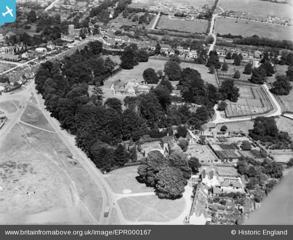
EPR000167 ENGLAND (1934). Holy Cross Convent (The Grange) and environs, Chalfont St Peter, 1934
© Copyright OpenStreetMap contributors and licensed by the OpenStreetMap Foundation. 2024. Cartography is licensed as CC BY-SA.
Nearby Images (8)
EPR000167
 and environs, Chalfont St Peter, 1934")
EPR000164
, Chalfont St Peter, 1934")
EPR000165
, Chalfont St Peter, 1934")
EPR000399
, Chalfont St Peter, 1934. This image was marked by Aero Pictorial Ltd for photo editing.")
EPR000166
, Chalfont St Peter, 1934")
EPR000168
 and environs, Chalfont St Peter, 1934")
EPR000398
, Chalfont St Peter, 1934. This image was marked by Aero Pictorial Ltd for photo editing.")
EPR000397
, Chalfont St Peter, 1934. This image was marked by Aero Pictorial Ltd for photo editing.")
Details
| Title | [EPR000167] Holy Cross Convent (The Grange) and environs, Chalfont St Peter, 1934 |
| Reference | EPR000167 |
| Date | 23-July-1934 |
| Link | |
| Place name | CHALFONT ST PETER |
| Parish | CHALFONT ST. PETER |
| District | |
| Country | ENGLAND |
| Easting / Northing | 499793, 190535 |
| Longitude / Latitude | -0.55885909301788, 51.604328139784 |
| National Grid Reference | SU998905 |
Pins
Be the first to add a comment to this image!


