
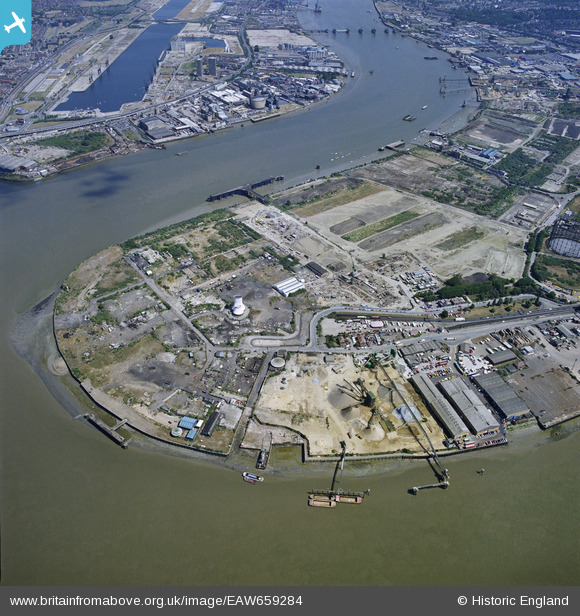
EAW659284 ENGLAND (1996). North Greenwich Pier and the Royal Victoria Dock, London, 1996
© Copyright OpenStreetMap contributors and licensed by the OpenStreetMap Foundation. 2024. Cartography is licensed as CC BY-SA.
Details
| Title | [EAW659284] North Greenwich Pier and the Royal Victoria Dock, London, 1996 |
| Reference | EAW659284 |
| Date | 25-July-1996 |
| Link | |
| Place name | GREENWICH |
| Parish | NON CIVIL PARISH |
| District | |
| Country | ENGLAND |
| Easting / Northing | 539144, 180000 |
| Longitude / Latitude | 0.004930086307693, 51.501302483802 |
| National Grid Reference | TQ391800 |
Pins
 bushwhackers |
Saturday 25th of February 2023 09:12:52 AM | |
Mike |
Wednesday 8th of January 2020 12:21:44 PM | |
John W |
Saturday 4th of February 2017 05:15:15 PM | |
John W |
Saturday 4th of February 2017 05:13:12 PM | |
John W |
Saturday 4th of February 2017 05:11:01 PM |


